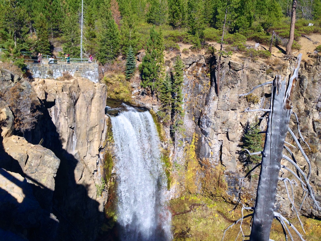
A short drive heading west out of Bend will get you to Tumalo Falls. It also requires driving 2.5 miles on a gravel road which can be rough in spots, but the reward is this gorgeous view of Tumalo Falls a few steps from the parking lot. This spot was pretty crowded on the October Saturday that we visited, but the crowd thinned once you got past the top of the falls.
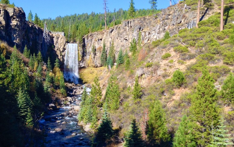
View of the falls from the base area
A short but steep hike takes you to the top of the falls for another great view. Continue on the North Fork Trail to see more waterfalls. Be aware the mountain bikers are allowed on this trail going uphill only.
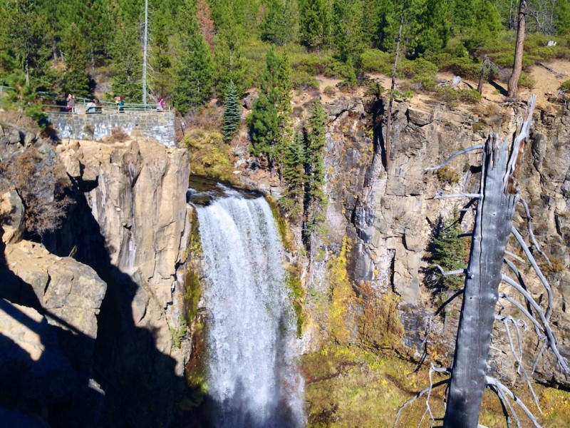
View from the top
Keep walking along the trail for another 30-45 minutes and you can see two more gorgeous waterfalls. The rest of the hike is much easier than hiking to the top of the first waterfall.
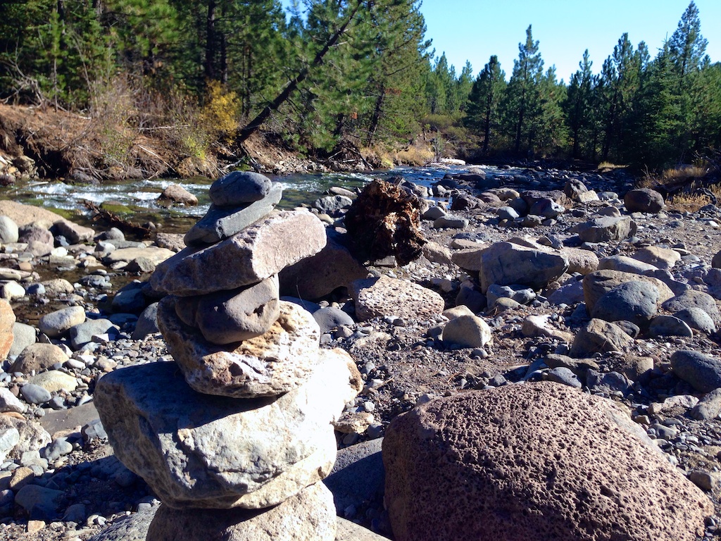
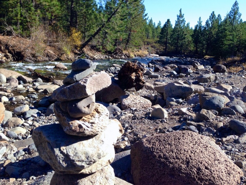
For the first part of the path you will be walking near the river and you’ll see trains down to the river where you can take a closer look. This seemed to be a popular spot.
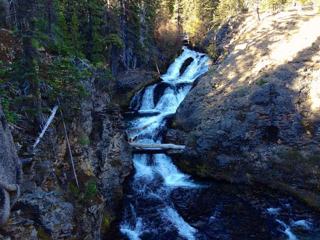
You’ll start ascending again and eventually come to a rock outcropping which gives you a fantastic view of Double Falls. There was a log bobbing around endlessly in the lower pool. This is around the 1 mile mark.
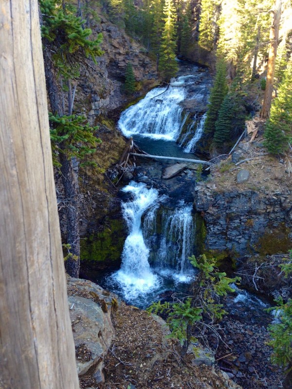
Double Falls
We came across one more waterfall..and it was a loud one! You can continue to hike up to get a different viewpoint of the falls. As far as I can tell this waterfall is nameless.

At this point it had been an hour since we had left the top of the first waterfall. That included lots of time for taking sidetrails and snapping photos. This is definitely a hike that I wish I had my SLR camera with me instead of just my iphone! It took us 30 minutes to get back to the parking lot.
FACT SHEET: Tumalo Falls
Address: Tumalo Falls Rd, Bend, OR
Fees: $5/car (May 1- September 30) or NW Forest Pass
Open: May 1 – September 30
May be open later depending on snow. Check USDA site for Current Conditions. Note: We were able to enter on October 19.
GPS: 44.031281,-121.567825
View Larger Map

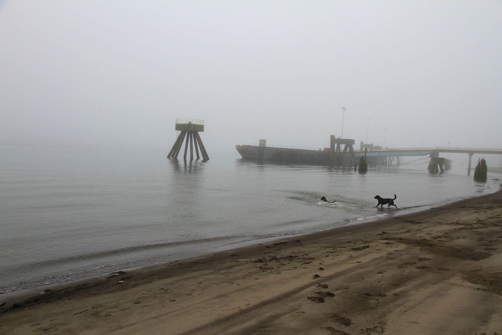
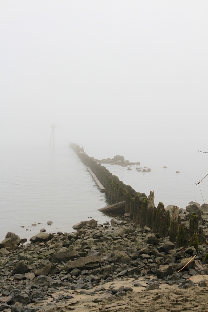
 Kelly Point Park is located where the Willamette River splits off from the Columbia. I learned by reading the information board in the park that Lewis & Clark missed the Willamette – twice!